Chart Practice Walkthrough
Putting It All Together
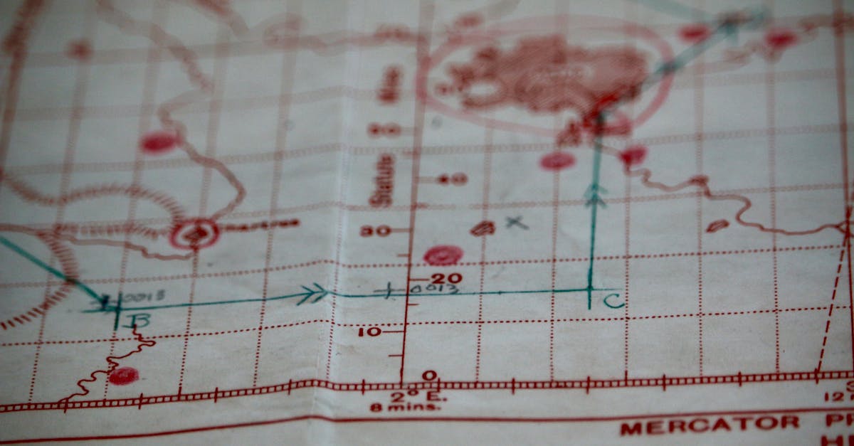
This lesson walks through the exact type of chart-reading scenarios the FAA tests. Each scenario follows the same pattern you’ll see on the exam: a chart excerpt with a question.
Scenario 1: “Can I Fly Here?”
Setup: You’ve been hired to inspect a tower under construction at coordinates N 46°54’, W 96°48’ near an airport.
Step 1: Find the coordinates
- Locate the latitude (horizontal) band around 46°54’N
- Locate the longitude (vertical) band around 96°48’W
- Find the intersection on the chart
Step 2: Identify the airspace
- What’s at that location? Look for airspace boundaries and airport symbols
- Check for any dashed blue, dashed magenta, or gradient shading
Step 3: Check altitude markers
- If there’s a boundary, read the top/bottom numbers
- Determine if you’re below the floor of any controlled airspace
Step 4: Check for special areas
- Restricted areas? Prohibited areas? TFRs?
- Obstacles nearby?
Step 5: Answer the question
- If the location is in Class G, no authorization needed
- If it’s in Class B/C/D/E surface, authorization required
- If it’s below the floor of Class E, that’s Class G, no authorization
Always work the coordinates first. Find the right spot on the chart, then determine the airspace. Don’t try to answer from memory. Use the chart.
Scenario 2: “What’s the Obstacle Height?”
Setup: The chart shows an obstacle symbol near your planned operating area.
Read the obstacle symbol:
- Top number (bold) = MSL height of the obstacle top
- Bottom number (parentheses) = AGL height of the structure
- Lightning bolt = lighted at night
Example: An obstacle shows 1562 (311).
- Top of the obstacle is 1,562 ft MSL
- The structure is 311 ft tall (AGL)
- The ground elevation is approximately 1,251 ft MSL (1,562 minus 311)
The FAA might ask:
- “What is the height of this obstacle AGL?” → 311 ft
- “What is the height of this obstacle MSL?” → 1,562 ft
- “Can you fly 400 ft AGL near this obstacle?” → Yes, up to 400 ft above the top = 711 ft AGL
Scenario 3: “What Airspace Am I In?”
Setup: The FAA shows you a point on a chart and asks what class of airspace it’s in.
Decision tree:
- Is it inside solid blue circles? → Class B
- Is it inside solid magenta circles? → Class C
- Is it inside a dashed blue circle? → Class D
- Is it inside a dashed magenta line? → Class E surface
- Is there soft magenta shading? → Class E starts at 700 ft; below is Class G
- Is there soft blue shading? → Class E starts at 1,200 ft; below is Class G
- Nothing else? → Class G (uncontrolled)
The FAA may show you a point between two airspace boundaries. Read the altitude markers carefully to determine which side of the boundary you’re on.
Scenario 4: “Reading Airport Information”
Setup: You’re near an airport and need to know if it’s towered.
- Check the symbol color: Blue = towered, magenta = non-towered
- Read the data block: Find the tower frequency or CTAF

- Check surrounding airspace: Is there a Class D dashed blue circle?
- Look at the runway information: Length, surface type, lighting
Exam Day Tips for Chart Questions
- Use the Testing Supplement — it has all the charts you need
- Read the figure reference — the question says “Refer to Figure 23, Area 4.” Find that exact area.
- Use the legend — it’s in the supplement
- Don’t rush — chart questions take longer but are worth the same points
- Work systematically — coordinates first, then airspace, then special areas
Quick Check
Q: The FAA shows you a point inside a dashed blue circle. What airspace are you in? A: Class D. Authorization required.
Q: An obstacle shows 2349 (487 AGL) with a lightning bolt. How tall is the structure and is it lighted? A: 487 ft tall, lighted at night.
Q: True or false: You can fly in a MOA without authorization. A: True. MOAs are not restricted airspace, but exercise caution for military training.
What’s Next?
Airspace and charts mastered! Next up: weather. Understanding the atmosphere, reading weather reports, and knowing when it’s safe to fly.
This free course covers the essential knowledge, but if you want video walkthroughs, practice exams, and instructor support, Pilot Institute’s Part 107 course is the most comprehensive option available.