Blog
Expert guides, tutorials, and insights on drone flying, photography, regulations, and equipment.
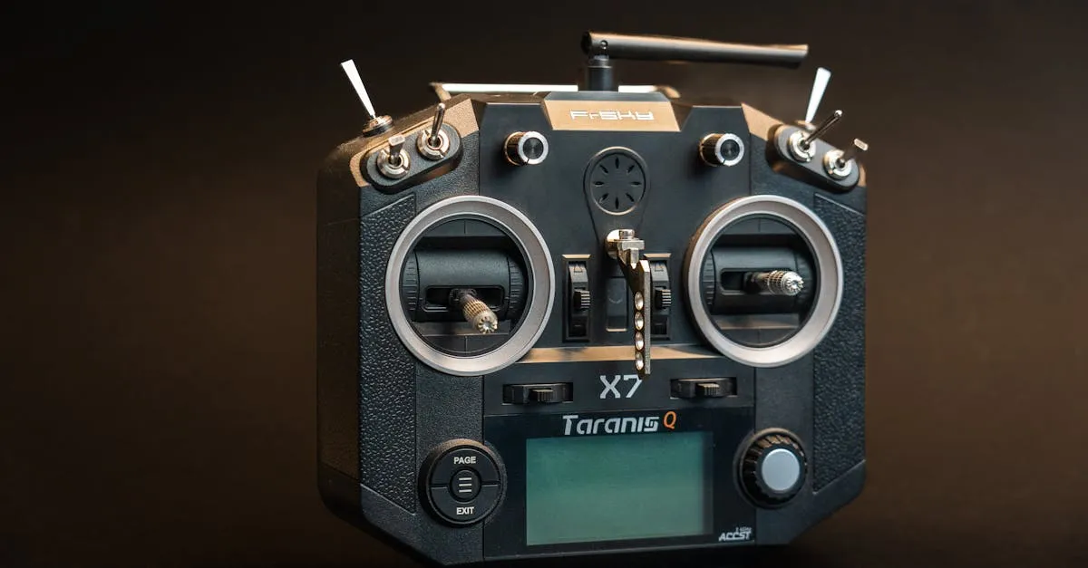
Drone Radio Signals Explained: Why Your Connection Drops and How to Prevent It
Your drone's connection to its controller depends on radio frequencies most pilots never think about. Understanding signal behavior helps you fly without surprises.
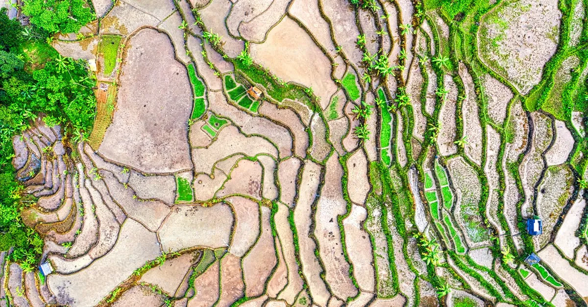
Drone Survey Project Workflow: Brief to Deliverables
A step-by-step walkthrough of a professional drone survey project. Nine steps from first client conversation to final delivery.
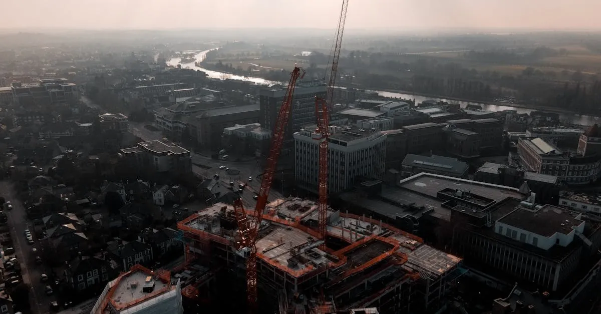
Construction Drone Services Pricing: What to Charge
From pre-construction surveys to thermal inspections, here is what construction clients pay for drone data and how to price your services.
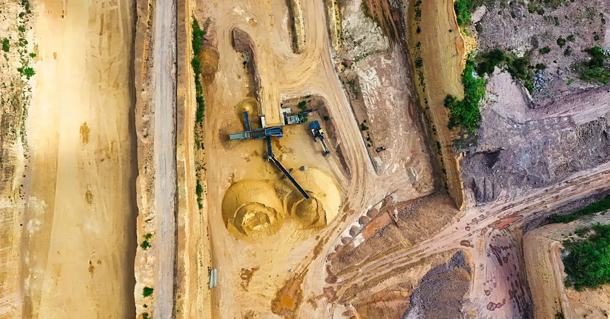
Drone Mining Surveys: Stockpiles and Excavation Progress
Mining companies pay premium rates for drone surveys. Here is how to measure stockpile volumes, map excavation progress, and price mining jobs.
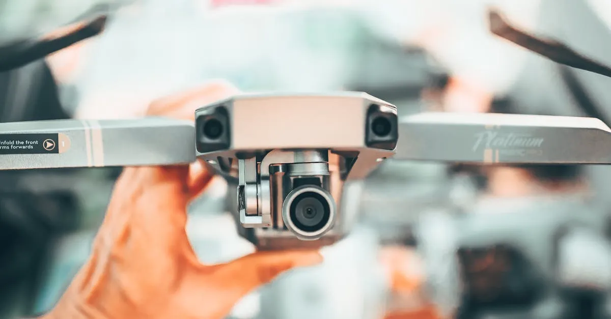
Drone Thermal Imaging: What Your Eyes Cannot See
Thermal cameras reveal heat leaks, moisture damage, and crop stress invisible to your eyes. Here is what thermal drone services actually involve.
How to Export Drone Footage for YouTube, Instagram, Stock
Every platform has different requirements. Using the wrong export settings means your grade gets destroyed by compression.
Free Part 107 Practice Test (2026): Realistic Questions, Instant Scoring
Take a free Part 107 practice test built from a verified question bank — realistic airspace-heavy questions, instant scoring, a per-topic breakdown, and every answer explained with its FAA source.
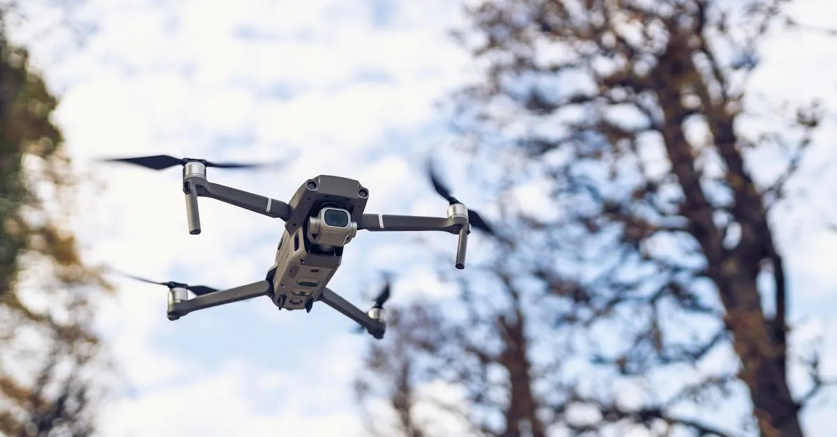
Drone Flyaway Prevention: Planning for the Worst Case
Flyaways are every pilot's nightmare. Most are preventable with proper planning, compass awareness, and emergency protocols.
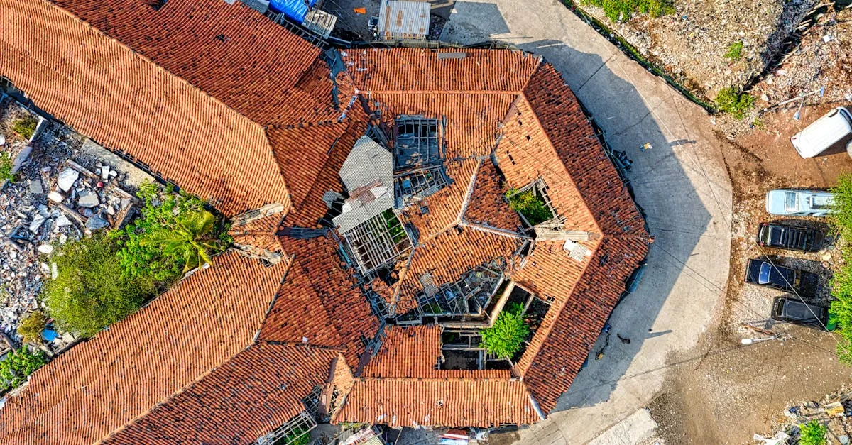
Drone Inspection Reports: Delivering Professional Results
A professional inspection report separates you from hobbyists. Here is the exact structure and format that roofing contractors and insurance adjusters trust.
Drone2Map vs. DroneDeploy: Which Should You Choose?
Comparing the two most popular drone mapping platforms for photogrammetry, orthomosaics, and 3D modeling.