Planning & Storyboarding Drone Shoots

Why It Matters
Professional drone videographers plan every shot before takeoff. They know exactly what they’ll capture and how. This isn’t over-planning. It’s the difference between a focused 2-battery shoot and an exhausting 6-battery session that still produces mediocre results.
Batteries are your most limited resource. Planning maximizes what you capture per flight.
Location Scouting with Google Earth
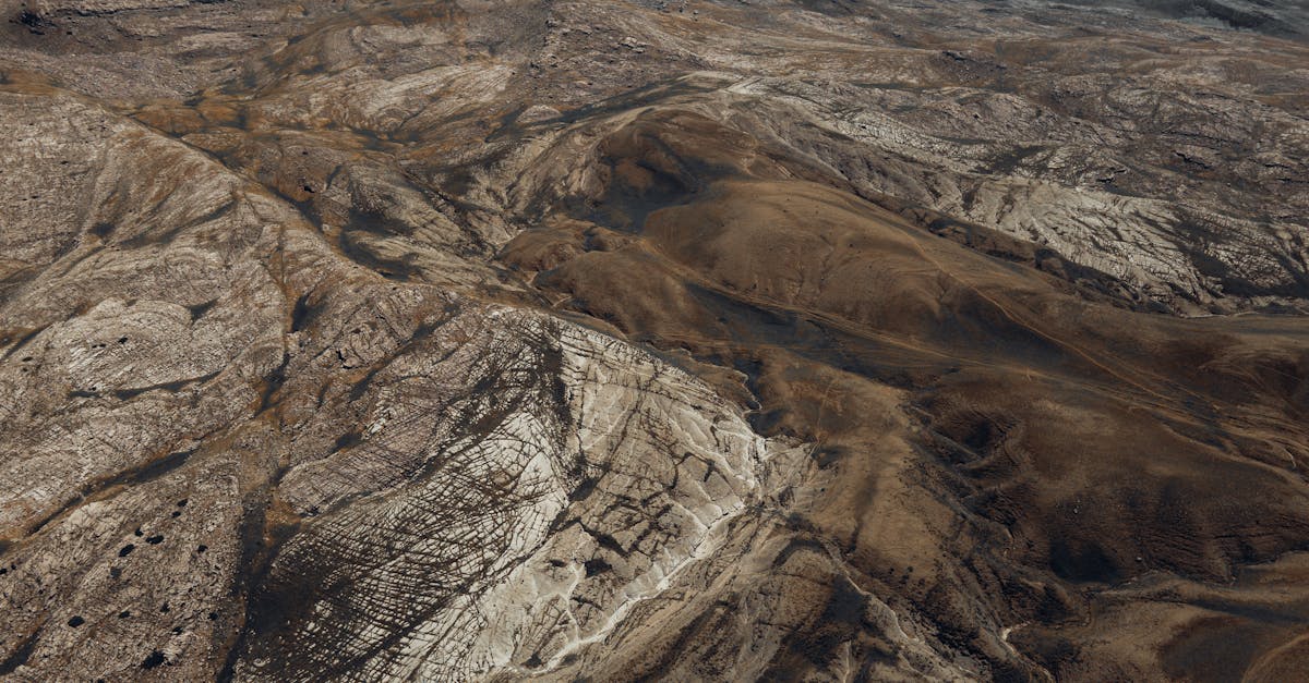
Google Earth is the most powerful free planning tool available. It shows you in 3D exactly what your drone camera will see.
Step-by-Step Process
- Search your location in Google Earth
- Switch to 3D view and rotate the view to match your planned shooting direction
- Check for obstacles — trees, buildings, power lines, cranes
- Identify takeoff spots — flat, open, safe, away from people
- Find the best angles — which side of the subject looks most dramatic from above?
- Note the relationship between elements — where is the subject relative to the background? Can you create reveals, leading lines, or foreground elements?
The Street View Trick
Drop the Google Maps street view figure on roads near your location. You can literally drive around the area virtually, checking for hazards and identifying the best launch positions.
Sun Position Planning
Use PhotoPills, Sun Surveyor, or similar apps to determine:
- Where the sun will be at your planned shooting time
- Golden hour timing — exact start and end for your location and date
- Shadow direction — which way shadows fall from your subject
Plan your shooting direction so the sun is behind you (the 180-degree rule from the Travel course applies here too). Shooting into the sun creates flare, silhouettes, and exposure problems.
Building a Shot List
Before arriving at the location, write down every shot you plan to capture:
| Shot # | Type | Direction | Altitude | Notes |
|---|
| 1 | Reveal | Rise over ridge | 50→200 ft | Golden hour, subject is valley | | 2 | Push-in | Toward waterfall | 100 ft | Slow, maintain framing | | 3 | Orbit | Waterfall center | 150 ft | 180° arc, clockwise | | 4 | Crane up | From river level | 20→300 ft | Show valley scale | | 5 | Pull-back | From bridge | 200→400 ft | Closing shot, landscape wide |
Ordering Your Shots
- Start with wide establishing shots — they’re the easiest and warm you up
- Move to medium shots — specific subjects with context
- End with detail shots — low altitude, close passes
- Save the golden hour shots for last — they’re time-critical
Get to your location at least 30 minutes before the light is perfect. Send the drone up, test your compositions, dial in your camera settings, and practice the movements. When the golden light arrives, you should be executing, not experimenting.
Quick Check
Q: Why is Google Earth essential for shoot planning? A: It shows the location in 3D, letting you preview camera angles, identify obstacles, and plan flight paths before arriving.
Q: How should you order your shots in a shoot plan? A: Start with wide establishing shots, progress to medium shots, end with detail shots. Save time-critical golden hour shots for the optimal moment.
Q: What’s the minimum arrival time before a golden hour shoot? A: 30 minutes. Enough time to scout, set up, test compositions, and practice movements before the light peaks.
What’s Next?
Planning done. Let’s move to post-production: turning raw footage into a finished video.
Pilot Institute — plan the shot, then fly the plan.