Where Can You Fly?
The Short Version
You cannot fly anywhere you want. Airspace is regulated, and the rules exist to keep drones away from manned aircraft, crowds, and sensitive areas. The good news: checking takes about 30 seconds with a free app.
Step 1: Check the Airspace
Before heading out, open a drone airspace app on your phone. The most popular options are:
- Aloft (formerly B4UFLY) — Free FAA-endorsed app for US pilots. Shows controlled airspace, no-fly zones, and authorization grids.
- AirMap — Works internationally. Shows airspace restrictions and local rules.
- DJI Fly app — DJI’s built-in geo zone map shows where their drones will restrict takeoff or require unlocking.
These apps show colored zones on a map:
| Zone Color | Meaning |
|---|---|
| Green or clear | No restrictions (uncontrolled Class G airspace) |
| Yellow or orange | Controlled airspace near airports; requires authorization |
| Red | Restricted; no flying without a specific waiver or unlock |
For your first flights, stick to green zones far from airports.
Drone laws vary by country, state, and even city. This course provides general guidance based on common US regulations. Always verify current rules for your specific location before flying. Check the FAA website (faa.gov/uas) for the latest US regulations. We are not lawyers and this is not legal advice.
Step 2: Know the Basic Rules
In the United States, recreational drone pilots (people flying for fun, not money) follow these rules under Section 44809:
- Fly below 400 feet above ground level. Some apps show your altitude in real time.
- Keep the drone in visual line of sight at all times. If you cannot see it with your own eyes (not just on the screen), you are too far away.
- Stay away from airports and manned aircraft. If you see a helicopter or airplane, land immediately.
- Do not fly over people or moving vehicles. Find an open area.
- Do not fly over groups of people, stadiums, or emergency response scenes.
- Do not fly under the influence of drugs or alcohol.
- Register your drone if it weighs more than 0.55 lbs (250 grams). Registration costs $5 through the FAA DroneZone website (faadronezone.faa.gov) and is valid for three years.
- Pass the TRUST test if flying recreationally. This is a free online knowledge test that takes about 15 minutes. Several organizations administer it for free.
If you receive any compensation for flying, even a free meal or a portfolio photo, the FAA considers it commercial and you need a Part 107 certificate. Our Part 107 course covers that process in detail.
Step 3: Check the Weather
Wind is the biggest weather factor for beginner drone pilots. A drone that flies smoothly in calm air becomes a handful in gusts above 15 to 20 mph. Light drones (under 250g) are affected more than heavier ones.
Check these before you head out:
- Wind speed — Below 10 mph is ideal for beginners. Below 20 mph is manageable for experienced pilots.
- Rain — Do not fly in rain. Most consumer drones are not waterproof, and water damages electronics and motors.
- Visibility — You need to be able to see the drone. Fog and heavy haze make this difficult.
- Temperature — Very cold weather drains batteries fast. Expect 20 to 30 percent less flight time below freezing.
A quick way to check conditions: open a weather app and look at the hourly forecast. If the wind is above 15 mph or rain is expected, pick another day.
Step 4: Scout Your Location
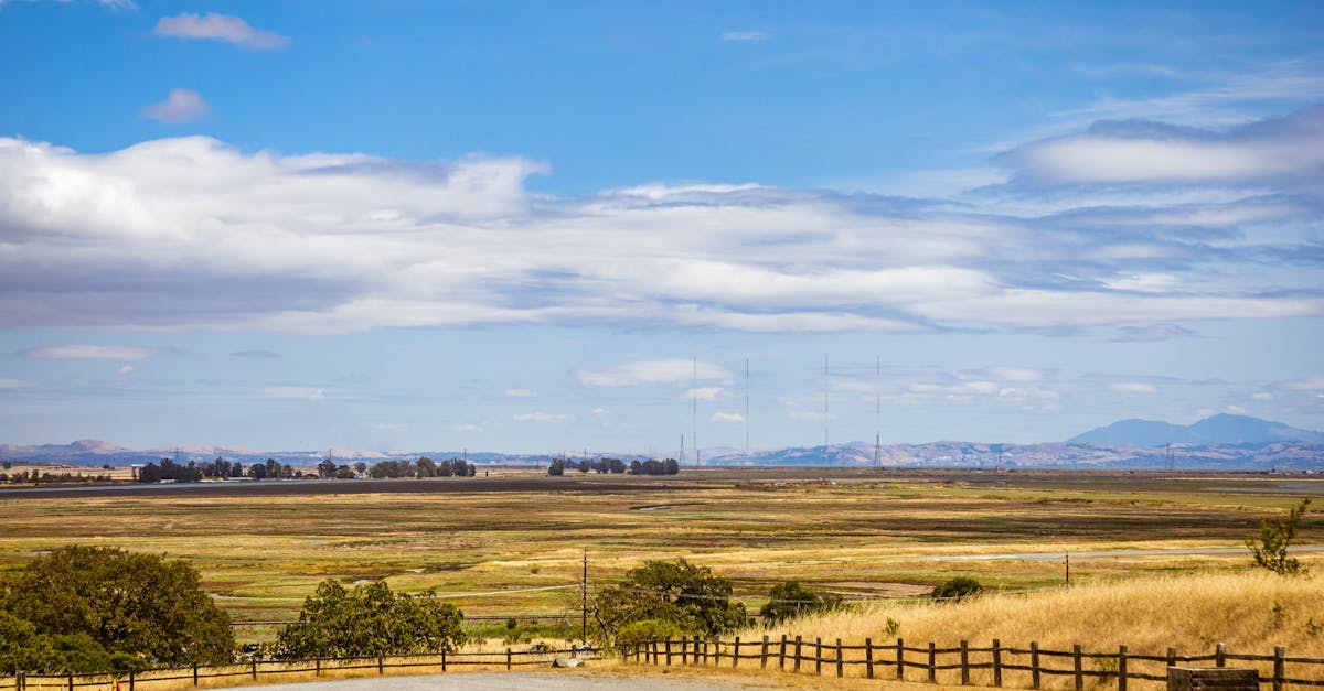
The best first-flight locations share these traits:
- Open space — A large grassy field, empty parking lot, or beach with no people around
- Far from airports — At least 5 miles, ideally more
- No power lines or cell towers nearby — These cause electromagnetic interference that can affect your compass and GPS signal
- No tall buildings or trees immediately next to the flying area — You want clearance on all sides
A soccer field or park works well. Avoid narrow spaces between trees, crowded beaches, and downtown areas for your first flights.
Quick Check
Q: How do you quickly check if a location is safe and legal to fly? A: Open a drone airspace app like Aloft (B4UFLY) or AirMap and check for restricted zones at your planned location.
Q: What is the maximum altitude for recreational drone flight in the US? A: 400 feet above ground level.
Q: Do you need to register a drone that weighs less than 250 grams for recreational use? A: No. Drones under 250g do not require registration for recreational flying in the US.
What’s Next?
You know where to fly. Now let’s pack your flight kit.
For comprehensive video training on drone regulations and airspace, Pilot Institute’s Part 107 course covers everything in detail.