Mapping Sensors Beyond RGB

Why It Matters
Your standard camera does a great job of capturing what you see with your own eyes. But when you are mapping a dense forest, inspecting a solar farm, or trying to find a missing person at night, human vision falls short. The right sensor turns a simple flying camera into a highly specialized data collection tool. Choosing the wrong one wastes your time and budget. Choosing the right one solves problems that standard photography simply cannot.
RGB Cameras: The Baseline
As we covered in lesson 02, RGB cameras capture red, green, and blue light to create highly detailed, photorealistic 3D models and orthomosaics. They are affordable, easy to process, and perfect for construction sites or real estate. However, RGB cameras have a major blind spot. They only see the surface. If thick vegetation covers the ground, an RGB camera maps the top of the tree canopy, not the actual earth below. They also cannot detect temperature differences or plant health indicators invisible to the human eye.
LiDAR Sensors
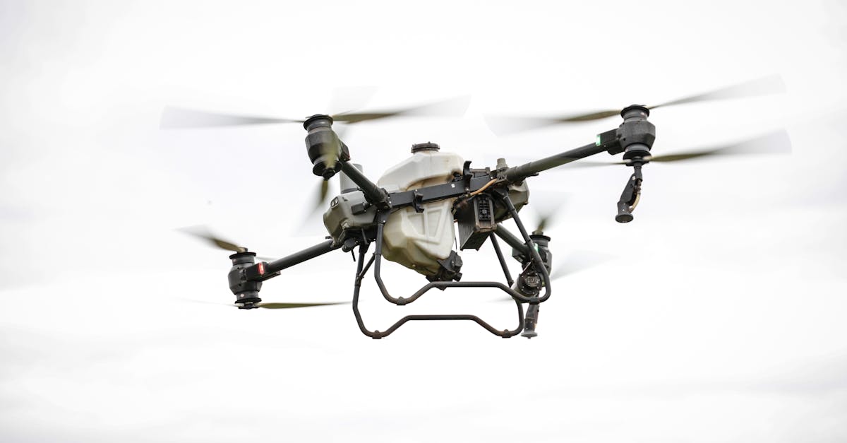
LiDAR (Light Detection and Ranging) works completely differently from a camera. It fires hundreds of thousands of laser pulses per second toward the ground and measures the exact time it takes for each pulse to bounce back. This generates a highly accurate 3D point cloud. Because the laser pulses can slip through small gaps in leaves and branches, LiDAR records multiple returns. You get data for the tree tops, the branches, and the bare earth underneath. This makes it the standard for forestry mapping, terrain modeling under dense canopy, and infrastructure projects requiring centimeter-level vertical accuracy. The trade-off is the price. A good drone LiDAR system typically starts around $5,000 and can easily exceed $50,000, not to mention the steeper learning curve for processing the dense data.
Thermal Sensors
Thermal sensors detect long-wave infrared radiation, which translates directly to heat. Instead of seeing light, these cameras see temperature differences. This makes them incredibly useful for building insulation inspections, finding faulty cells on solar panels, spotting water stress in crops, and conducting search and rescue operations at night. Thermal sensors do have strict limitations. They offer much lower resolution than RGB, often maxing out around 640x512 pixels. They also struggle in hot, sunny conditions because the sun heats up everything, washing out the temperature contrasts you need to see.
Multispectral Sensors
Multispectral sensors capture specific, narrow bands of light beyond the visible spectrum, most commonly Near-Infrared (NIR) and Red-Edge. Healthy plants absorb visible light for photosynthesis but reflect a lot of NIR light. Sick or dying plants do not. By comparing the Red and NIR bands, you calculate the Normalized Difference Vegetation Index (NDVI). This numerical value tells you exactly how healthy the vegetation is, often before problems are visible to the naked eye. Multispectral mapping drives precision farming by telling agronomists exactly where to apply fertilizer or water. It is also heavily used in environmental monitoring to track wetland health and invasive species spread.
Comparing Sensor Types
| Sensor Type | What it captures | Typical resolution | Cost range | Best for | Limitations |
|---|---|---|---|---|---|
| RGB | Visible light (photos) | 20MP - 48MP | $500 - $2,000 | General mapping, 3D models | Cannot see through vegetation |
| LiDAR | Laser pulse returns | 10-30 points per sq meter | $5,000 - $70,000 | Forestry, bare earth terrain | High cost, heavy payloads |
| Thermal | Heat signatures | 320x240 to 640x512 | $1,500 - $5,000 | Inspections, search and rescue | Low resolution, weather dependent |
| Multispectral | NIR, Red-edge, visible | 1.2MP - 5MP per band | $2,500 - $6,000 | Crop health, precision farming | Limited to vegetation analysis |
Quick Check
Q: Why would you choose LiDAR over RGB for a forest survey? A: LiDAR pulses can penetrate gaps in the tree canopy to capture the bare earth elevation, while RGB cameras only map the top of the leaves.
Q: What does NDVI actually measure? A: NDVI measures the difference between red light absorbed by plants and near-infrared light reflected by them, providing a numerical score for plant health.
Q: Why is flying a thermal survey at noon a bad idea? A: Direct sunlight heats up all surfaces evenly, which eliminates the thermal contrast between targets and makes it difficult to distinguish actual heat anomalies.
What’s Next?
Now that you know what sensor you need for the job, it is time to figure out how to fly to get the best data. In the next lesson, we will cover flight planning basics, including overlap, altitude, and speed settings tailored to different sensors.
For comprehensive mapping sensor training, Pilot Institute covers equipment selection in their drone courses.