Delivering Results to Clients

Why It Matters
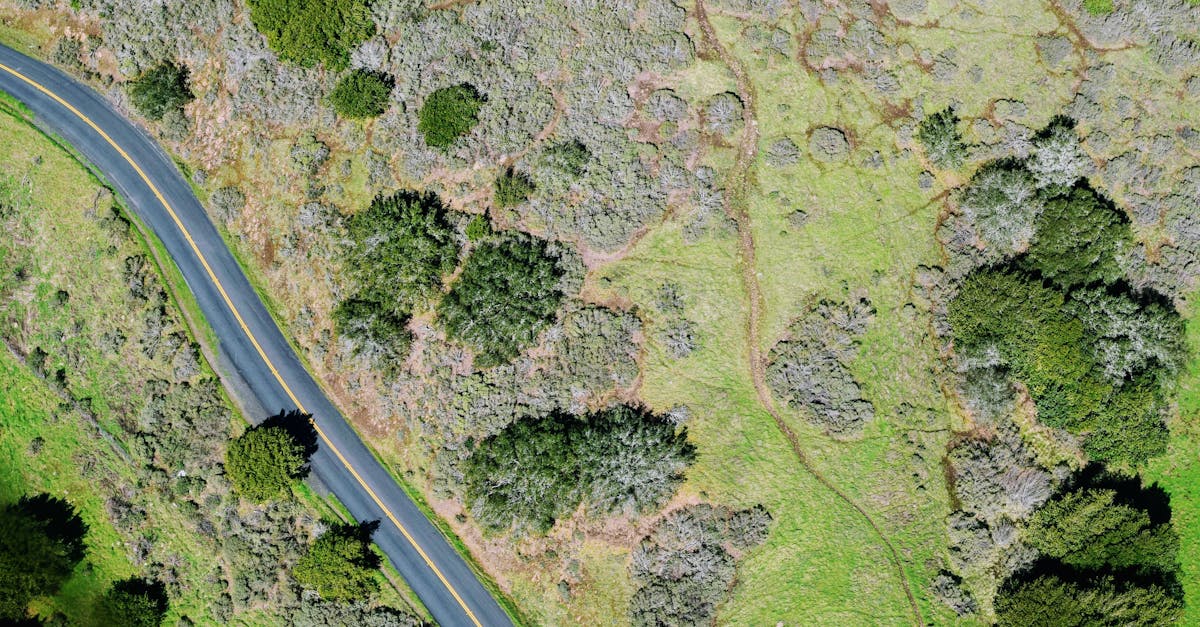
You’ve produced a clean orthomosaic, an accurate DEM, and detailed contour lines. Your processing is perfect. Now you send a 5 GB GeoTIFF to a construction manager who doesn’t own GIS software, and your deliverable is useless.
Data has no value if the client can’t access and understand it. Delivering mapping results is about translation: converting technical outputs into formats and visualizations that each audience can use immediately.
Know Your Audience
Construction Managers
They need:
- Measurable maps they can view without specialized software
- Volume reports with clear numbers
- Progress comparisons between survey dates
- Google Earth files they can share with stakeholders
They don’t need: raw point clouds, processing parameters, or technical accuracy reports (though you should include these as appendices).
Surveyors and Engineers
They need:
- GIS-compatible files (GeoTIFF, Shapefile, DXF)
- Accurate coordinate system documentation
- DEM/DSM data for their own analysis
- Point cloud data (LAS/LAZ) for integration with their tools
They don’t need: pretty visualizations. They want the data.
Developers and Real Estate
They need:
- Visual presentations: high-resolution images and 3D models
- Google Earth files for client presentations
- Simple measurements: distances, areas, building footprints
- Before/after comparisons for marketing
They don’t need: technical accuracy metrics or CAD files.
Deliverable Formats
For Everyone: Google Earth (KMZ)
The KMZ file is your most versatile deliverable. It opens in Google Earth (free, universally available) and can display:
- Orthomosaic overlay: the aerial map draped on Google Earth’s terrain
- 3D model: a simplified version of your 3D reconstruction
- Contours: lines at regular elevation intervals
- Points of interest: markers with measurements and annotations
KMZ is the single best format for non-technical clients because it requires no specialized software and is immediately interactive.
For Engineers: GIS Formats
- GeoTIFF: the standard raster format for orthomosaics and DEMs. Contains geographic coordinates and projection information. Opens in QGIS (free), ArcGIS, AutoCAD Map, and most engineering software.
- Shapefile (.shp): vector format for contour lines, boundaries, and point features.
- DXF: AutoCAD-compatible format for contours and vector data.
- LAS/LAZ: point cloud format for 3D data. Compressed LAZ is preferred (smaller files).
For Presentations: Visual Formats
- High-resolution JPEG/PNG: the orthomosaic as a simple image for reports and presentations
- PDF maps: annotated maps with scale bars, north arrows, and labels
- 3D PDF: interactive 3D model embedded in a PDF (limited but accessible)
Building a Mapping Report
Every mapping project should include a professional report:
Report Structure
- Project summary: site name, date, area covered, purpose
- Methodology: equipment used, flight parameters, GCP details, processing software
- Accuracy report: RMSE values, check point results, coordinate system
- Deliverables list: what files are included and their formats
- Map overview: annotated orthomosaic with key features labeled
- Volume report (if applicable): stockpile or cut/fill volumes with methodology
- Appendices: technical details, raw data references
Key Elements
- Scale bar and north arrow on all map images
- Coordinate system clearly stated
- Accuracy statement with supporting check point data
- Date stamp on all deliverables
- Limitations: note any areas with reduced accuracy (water, vegetation, etc.)
Presentation Tips
Before/After Sliders
Create a visual comparison between two survey dates by overlaying the orthomosaics. Non-technical audiences grasp the progress shown by a before/after comparison right away.
Annotated Screenshots
Take screenshots of the orthomosaic in Google Earth with annotations: labels, measurements, and callouts highlighting key features. These become the slides in your presentation.
Volume Summaries as Tables
Present stockpile or cut/fill volumes in clear tables with dates, methods, and confidence intervals. A simple table is more useful than a complex 3D visualization for most decision-makers.
Growing Your Mapping Business
Service Tiers
Consider offering tiered mapping services:
- Visual mapping: orthomosaic + Google Earth file. Lower accuracy acceptable. For real estate and marketing.
- Construction mapping: orthomosaic + DEM + contours + volumes. Medium accuracy with GCPs. For general construction tracking.
- Survey-grade mapping: full deliverables with RTK accuracy, check points, and certified accuracy report. For engineering design and legal applications.
Recurring Revenue
Construction sites change weekly. Offer monthly mapping subscriptions where you fly the site on a regular schedule and deliver updated orthomosaics, volume reports, and progress comparisons. This creates predictable recurring revenue and deepens the client relationship.
Quick Check
Q: What is the most universally accessible mapping deliverable format? A: KMZ. It opens in Google Earth, which is free and familiar to virtually everyone.
Q: What format do engineers need for elevation data? A: GeoTIFF for raster data (DEM/DSM) and Shapefile or DXF for vector data (contours, boundaries).
Q: What should a professional mapping report always include? A: Project summary, methodology, accuracy report with RMSE, deliverables list, coordinate system documentation, and any limitations or caveats.
What’s Next?
You’ve completed the Drone Mapping and Photogrammetry course. You understand the full pipeline from flight planning through processing to client delivery. The best next step is to practice. Start with a small site, process it in WebODM, and iterate on your workflow. Every mapping project teaches you something new.