Capturing Mapping Data
Why It Matters
All the planning in the world means nothing if you execute poorly in the field. Mapping flights demand discipline: consistent altitude, controlled speed, proper camera settings, and careful data management. One missed setting can ruin an entire flight’s worth of data. You won’t know until you’re back at the computer processing it.
This lesson covers the complete field workflow from arrival at the site to data download and verification.
Pre-Flight Preparation
Before Leaving
- Charge all drone batteries (fully charged to 4.2V/cell)
- Charge controller and phone/tablet
- Format SD cards (start clean, no mixed data)
- Verify camera settings: manual mode, ISO 100, fast shutter, focus at infinity
- Load the flight plan into your mission planning app
- Pack GCP targets, RTK GPS, measuring tape, and ground markers
On Site
- Walk the site: identify hazards, confirm GCP placement locations, check for obstacles that may interfere with the planned altitude
- Deploy GCPs: place targets at pre-planned locations, secure them against wind
- Survey GCPs: use RTK GPS to record coordinates at each target center
- Photograph each GCP from ground level for identification reference
- Check the weather: wind under 15 mph, no rain, good visibility. Overcast skies are actually ideal because they eliminate harsh shadows that confuse feature matching.
Camera Settings Verification
Before takeoff, confirm your camera settings one final time:
- Manual exposure: auto exposure changes brightness between photos, which degrades the orthomosaic
- ISO 100: minimize noise
- Shutter speed 1/1000 or faster: freeze motion at flight speed
- Focus at infinity: or set to manual focus and confirm sharpness on a distant object
- No filters: ND filters and polarizers are for creative photography, not mapping. You want maximum sharpness and consistent exposure.
Executing the Mapping Flight
Launch and Verify
- Power on the drone and controller
- Wait for GPS lock (green status)
- Verify the flight plan is loaded correctly: check altitude, overlap, and boundary
- Take off and climb to mapping altitude
- Take a test photo and zoom in to check sharpness and focus
During the Flight
- Monitor the live feed for unusual behavior
- Watch battery voltage: plan to land with margin (30% minimum)
- Don’t interrupt the mission: let the automated flight complete without manual override unless safety requires it
- Stay within visual line of sight (or use a spotter)
- Note any anomalies: gusts of wind, shadows from clouds, equipment near the flight path
Multi-Battery Flights
Most mapping missions require multiple batteries. When swapping:
- Resume from where the previous flight ended: most planning apps support this automatically
- Do not move GCPs between flights
- Keep camera settings identical between flights
- Maintain consistent lighting: try to fly the entire site within a 2-hour window to minimize shadow changes
Special Situations
Terrain with Significant Elevation Change
If your mapping area has hills or valleys, a constant-altitude flight will be too high over low areas (wasting resolution) and too low over high areas (risking collision). Use terrain-following mode if your planning app supports it, or plan separate flights at different altitudes for each elevation zone.
Structures and Buildings
For 3D reconstruction of buildings, add oblique passes (fly at a 45-degree camera angle around structures). This captures wall facades that nadir-only flights miss.
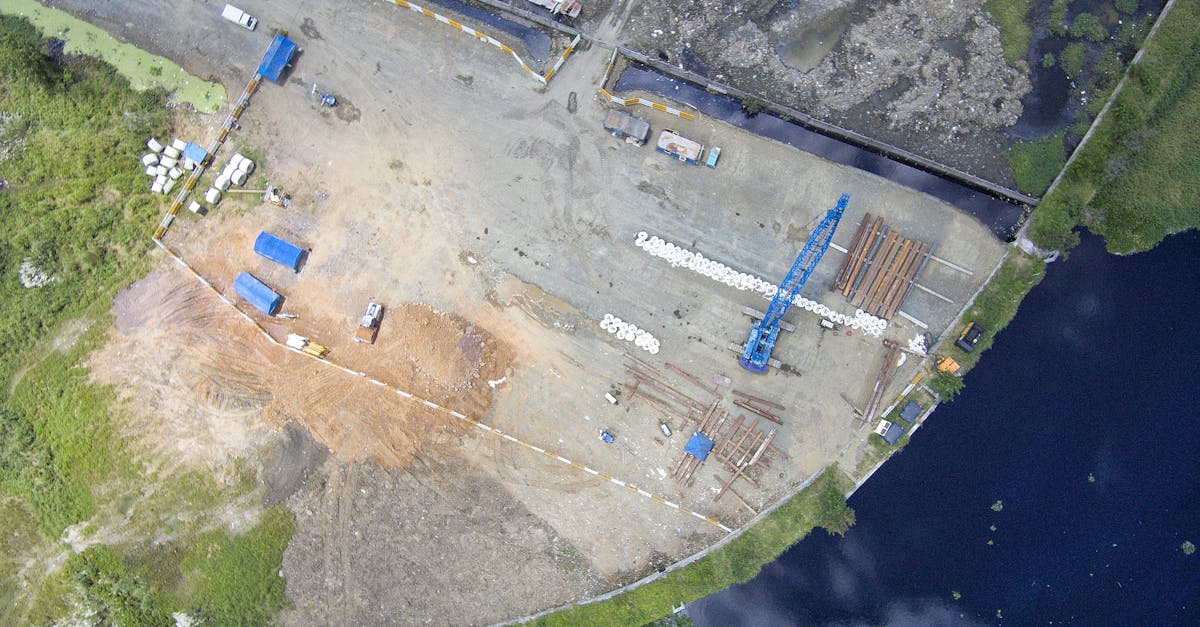
Water Areas
Water reflects light and lacks stable features for matching. Photogrammetry typically fails over water. Plan your flight to avoid large water areas, or accept that the water surface in your outputs will be unreliable.
Post-Flight Data Management
Immediate Checks
After landing, before leaving the site:
- Check photo count: does the number of photos match what the planning app reported?
- Spot-check a few photos: zoom in on 5-10 random images to verify sharpness and exposure

- Verify all GCPs are visible in at least 3 photos each (check on the camera/playback)
Data Download
- Download all photos to a dedicated folder named with date and site name
- Copy (don’t move) from the SD card. Keep the original card as backup until processing is complete.
- Download flight logs from the drone app if available. They contain precise GPS data for each photo.
- Export GCP survey data from your RTK GPS to the same project folder
Data Organization
Organize your project folder:
Project_Name_2026-04-27/
  photos/
    flight_01/
    flight_02/
  gcp/
    gcp_coordinates.csv
    gcp_ground_photos/
  flight_logs/
  processing/
deliverables/Quick Check
Q: Why are ND filters not recommended for mapping flights? A: ND filters reduce light and can degrade sharpness. Mapping prioritizes maximum image quality and consistent exposure over creative motion blur.
Q: What should you check before leaving the mapping site? A: Photo count matches expected, spot-check sharpness on random photos, verify all GCPs are visible in multiple images.
Q: Why are overcast days preferred for mapping? A: Cloud cover provides even, diffused lighting without harsh shadows that change between photos and confuse feature matching.
What’s Next?
Data captured. Now let’s process it: the photogrammetry pipeline from raw photos to aligned, accurate outputs.