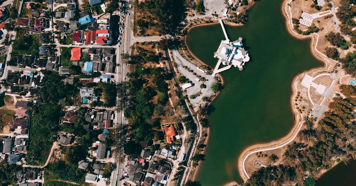
Drone Mapping & Photogrammetry
From flight planning and image overlap to orthomosaics, 3D models, digital elevation models, and volume calculations — learn to turn drone photos into accurate survey-grade data.
Foundations
What Is Drone Mapping?
How photogrammetry works, what outputs it produces, and why drones have transformed land surveying and construction site management.
Mapping Equipment
Which drones work for mapping, camera specifications that matter, RTK/PPK positioning, ground control points, and photogrammetry software options.
Mapping Sensors Beyond RGB
Explore LiDAR, thermal, and multispectral sensors for drone mapping, what each one captures, when to use them, and how they compare to standard RGB photogrammetry.
Planning & Capturing Data
Flight Planning for Mapping
How to plan a mapping mission — altitude calculations, overlap settings, grid and cross-grid patterns, ground sample distance, and mission planning workflows.
Ground Control Points
Why GCPs are essential for accurate mapping, how to place and survey them, RTK GPS workflows, and accuracy validation methods.
Capturing Mapping Data
The complete field workflow for a mapping mission — pre-flight preparation, executing the flight, quality checks, and data management.
Processing & Outputs
Processing Your Data
The photogrammetry pipeline explained — from image alignment and dense point cloud generation to mesh creation and orthomosaic export.
Choosing Your Mapping Software
Compare Pix4D, DroneDeploy, Agisoft Metashape, WebODM, and ArcGIS Drone2Map for photogrammetry processing, with pricing, features, and when to use each.
Mapping Outputs Explained
Deep dive into each mapping output — orthomosaics, digital elevation models, contour lines, 3D models — and how construction, surveying, and real estate professionals use them.
Point Clouds and 3D Models
Understand how dense point clouds, 3D mesh models, and textured reconstructions are generated from drone imagery and how professionals use them.
Applications
Volume Calculations
How to measure stockpile volumes, track excavation progress, and perform cut/fill analysis using drone mapping data.
Mapping by Industry
How construction, mining, agriculture, and environmental sectors use drone mapping, with specific workflows, deliverables, and accuracy requirements for each.
Quality & Delivery
Accuracy and Quality Control
Understanding RMSE, relative vs absolute accuracy, common error sources, and how to validate your mapping results before delivery.
Delivering Results to Clients
Export formats, GIS integration, Google Earth overlays, presentation strategies, and how to package mapping deliverables for different audiences.