Blog
Page 6 of 12

Legal Requirements for Selling Drone Footage: Releases and Copyright
Before you upload that drone clip to a stock agency, make sure you understand Part 107 requirements, model releases, and copyright basics.
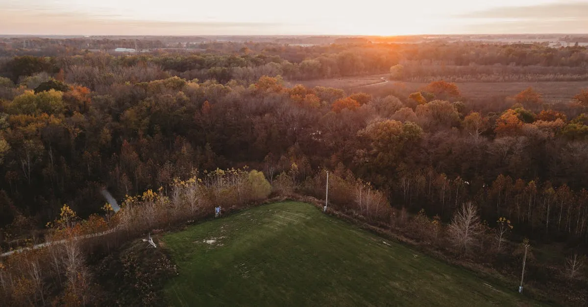
Golden Hour Drone Photography: Tips and Settings
Golden hour is when drone photos go from flat to stunning. Here are the camera settings, composition tricks, and planning tips you need.
How Much Can You Make Selling Drone Stock Footage?
A realistic target is $2,000/month from clips uploaded years ago. Here's the full income spectrum and how the math actually works.
Drone Stock Footage Metadata: Keyword for Maximum Sales
Beautiful footage that can't be found earns nothing. Here's the keyword framework that turns your drone clips into consistent sellers.
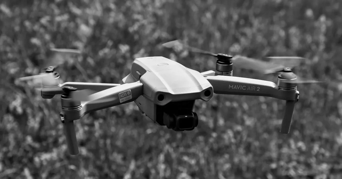
Part 107 Waivers Explained: How to Fly Beyond Standard Rules
Need to fly beyond visual line of sight or from a moving vehicle? Here is how Part 107 waivers work and how to apply through the FAA's Aviation Safety Hub.
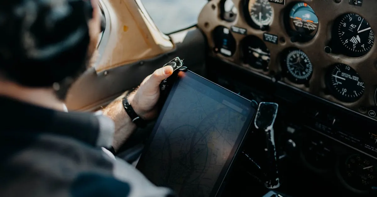
Understanding NOTAMs: The Pre-Flight Check You Can't Skip
NOTAMs tell you what's happening in the sky right now. Here's how to read them, where to find them, and why skipping this step can cost you your certificate.
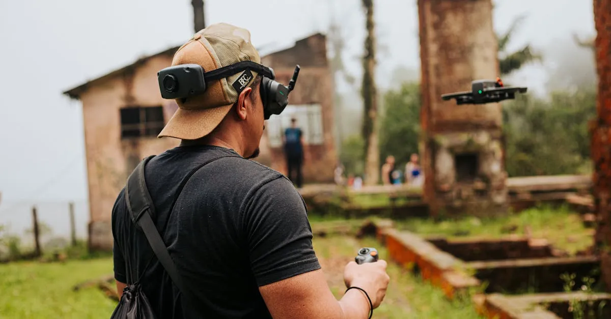
Angle vs Acro Mode: The FPV Flight Mode Guide
Angle mode self-levels. Acro mode doesn't. Here's which one to start with, how to progress, and why sim practice matters.
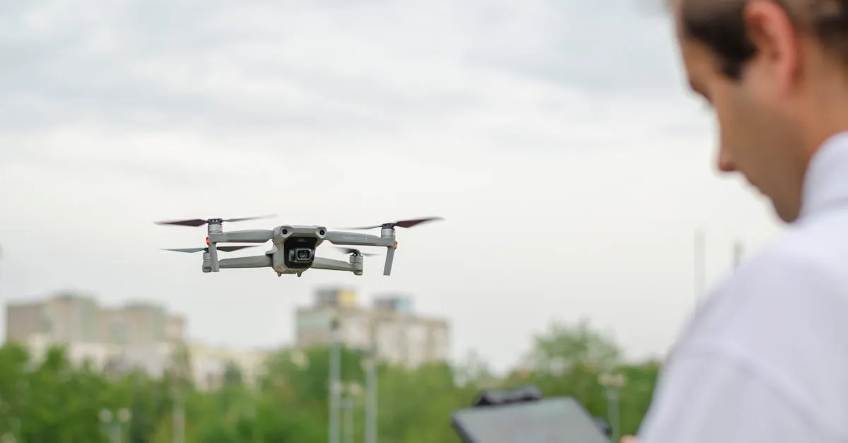
Drone Risk Management: Pre-Flight Safety Assessment
Every flight carries risk. A structured pre-flight assessment keeps you safe, legal, and prepared for the unexpected.
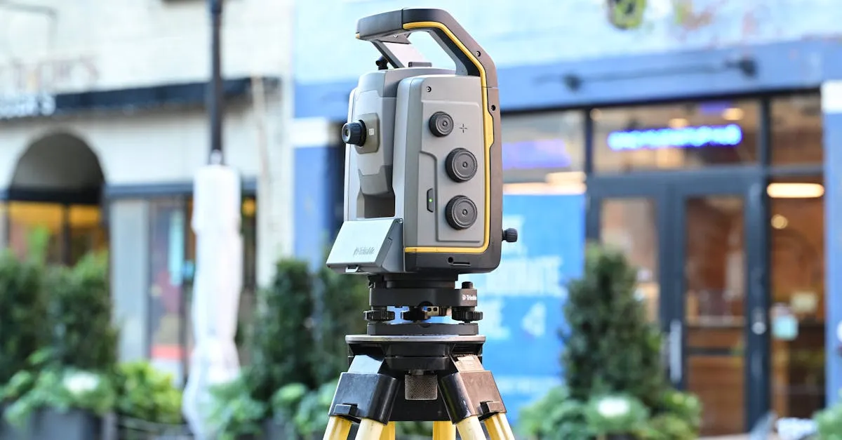
Drone Mapping Accuracy: How to Achieve Survey-Grade Results
Standard GPS gives you meters of error. Survey-grade mapping needs centimeters. Here's how RTK, PPK, and GCPs get you there.
QGIS for Drone Pilots: How to Process Mapping Data
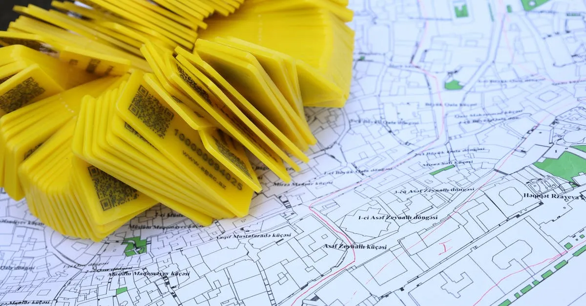
QGIS is free, powerful, and perfect for drone mapping data. Here's how to import, analyze, and export your orthomosaics.