Blog
Page 3 of 12
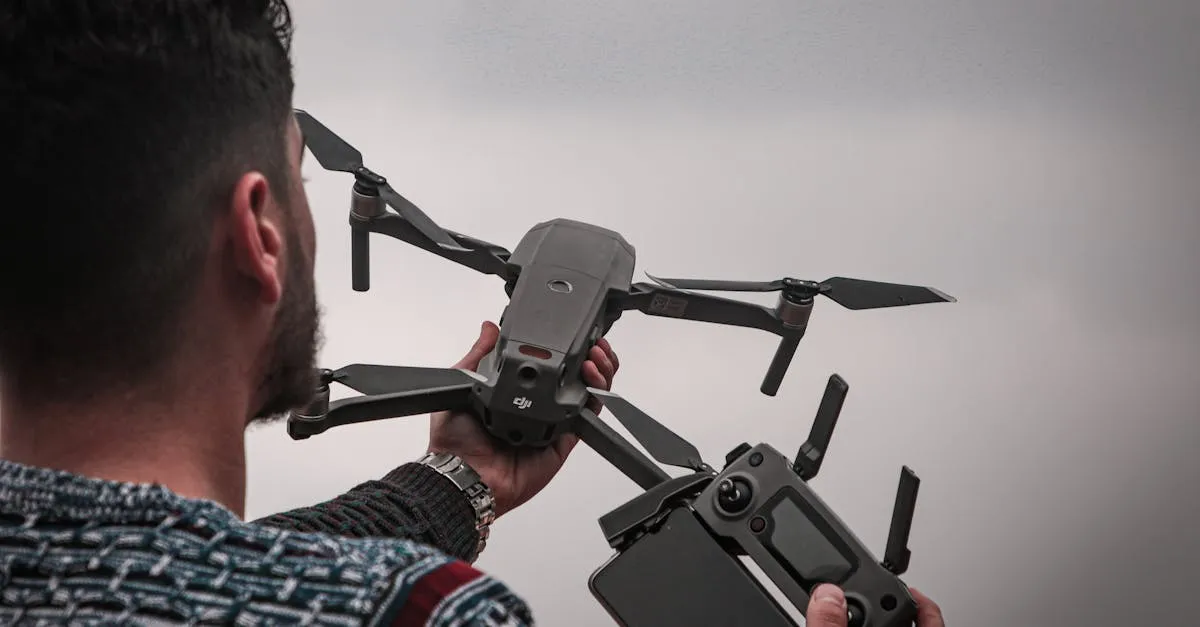
7 Ways to Make Money with Your Drone in 2026
From real estate to roof inspections to social media content, here are seven proven income streams for Part 107 certified drone pilots.
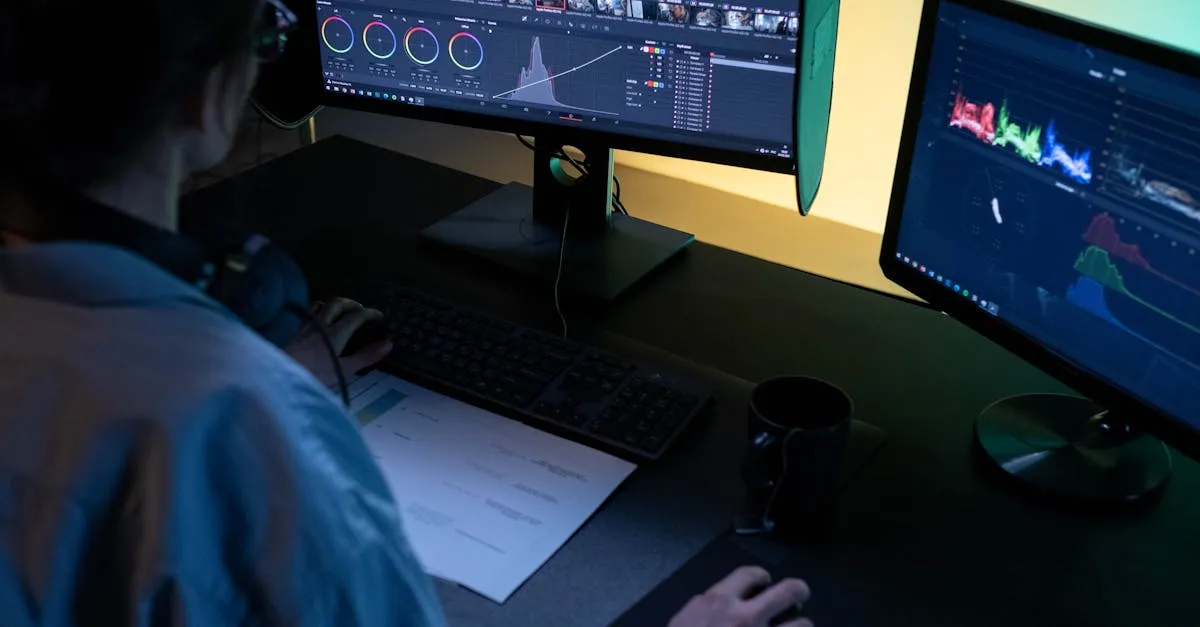
Color Grading vs Color Correction for Drone Footage
Color correction fixes problems. Color grading creates style. Understanding the difference is the first step to professional drone footage.
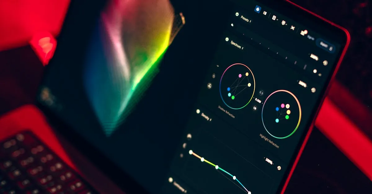
DaVinci Resolve for Drone Pilots: Complete Beginner Guide
The industry-standard color grading software is completely free. Here is how drone pilots can get started with DaVinci Resolve.
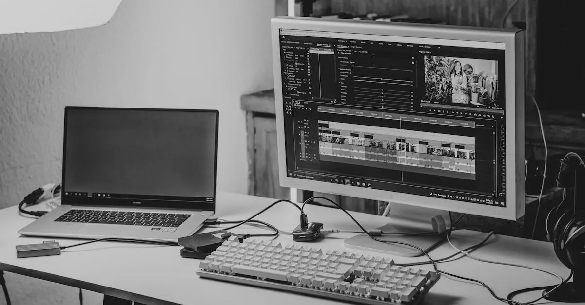
Proxy Editing Workflow for 4K Drone Footage
4K drone footage chokes most computers. Proxy editing lets you work smoothly on any machine without losing quality in the final export.
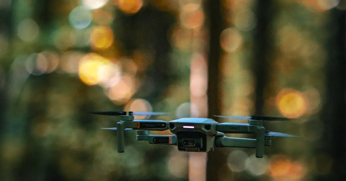
Best Free Drone LUTs for DJI Footage in 2026
Transform your DJI drone footage with these free LUT downloads. Includes official DJI LUTs, cinematic looks, and tools for every style.
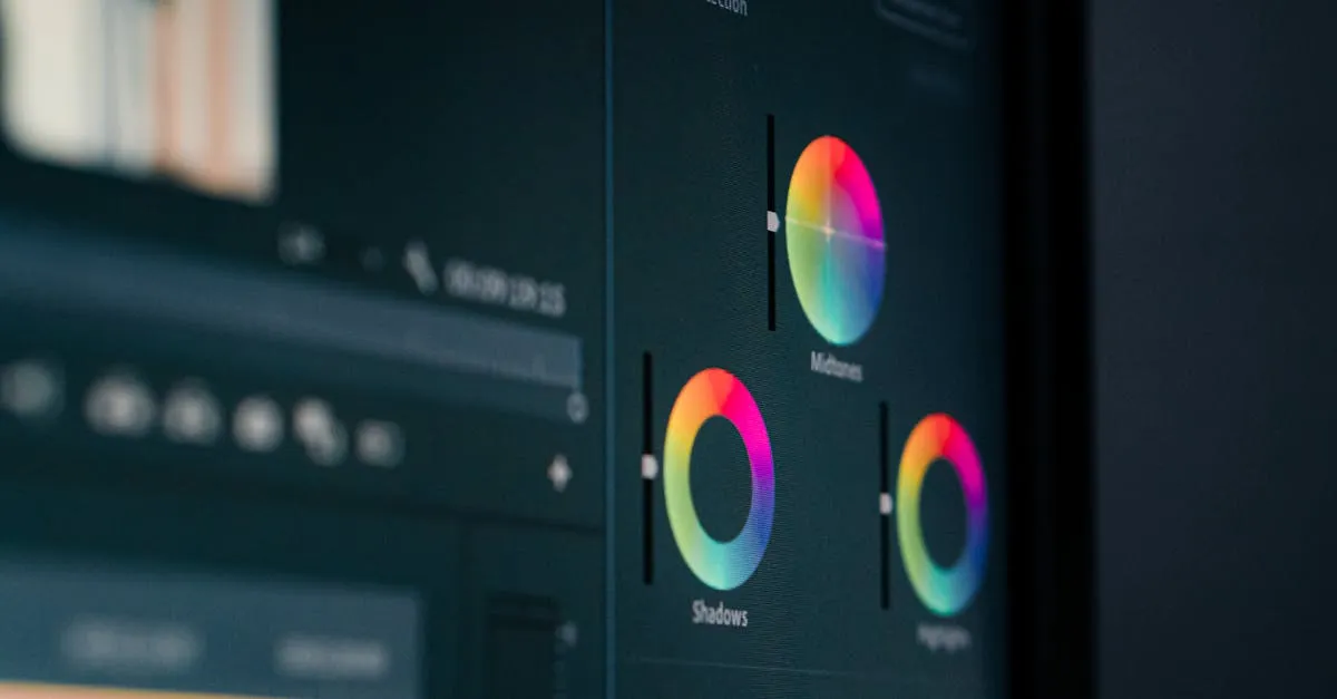
How to Use LUTs on Drone Footage (Premiere, Resolve, FCPX)
LUTs transform flat drone footage into cinematic video with one click. Here is how to apply them correctly in every major editing program.
Drone Flat Profiles Explained: D-Log vs HLG vs Normal
Flat profiles like D-Log and HLG look terrible straight from the camera but give you incredible editing flexibility. Here is when to use each one.
Drone Photography Pricing Guide: How Much to Charge
Stop guessing at your rates. Here are real pricing benchmarks, the three pricing models, and how to calculate your minimum rate.
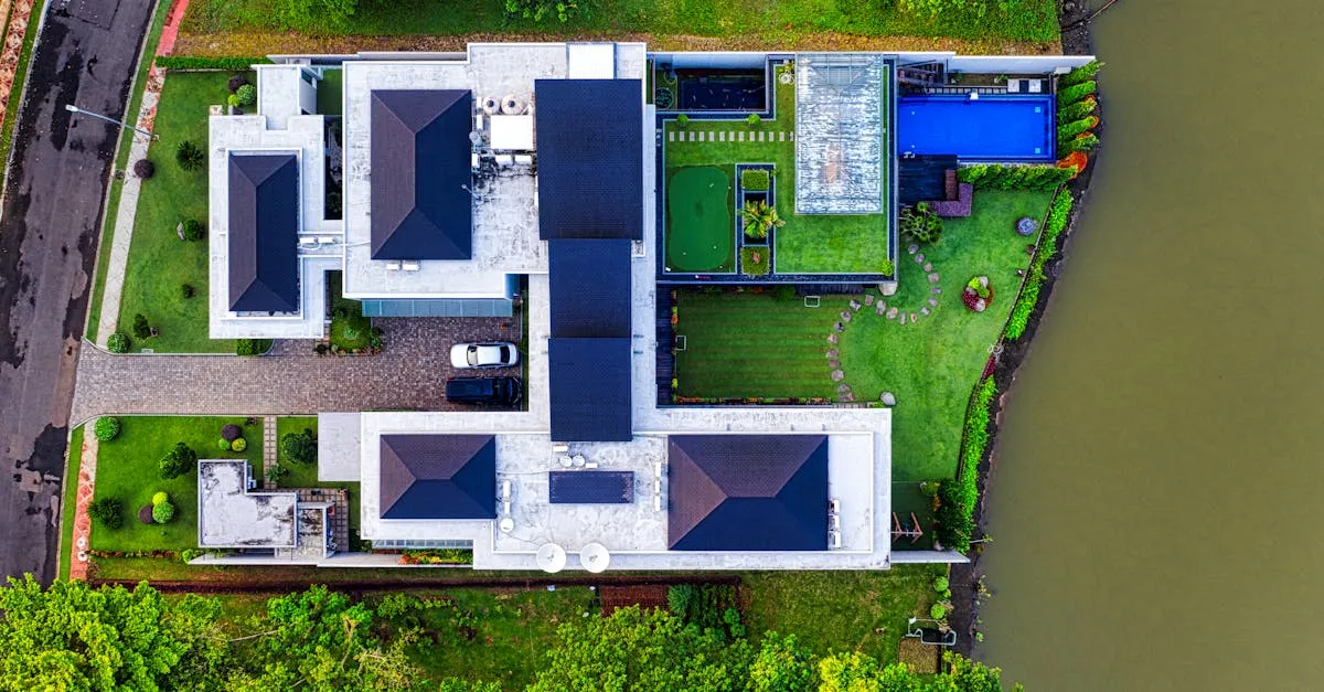
Real Estate Drone Photography Tips That Sell Properties
In today's market, aerial photos can make or break a listing. Here's how to capture drone photos that actually help sell properties faster.
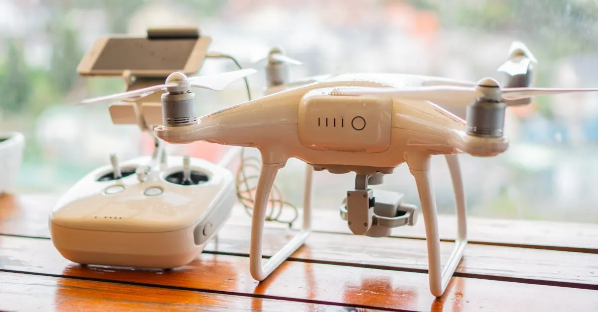
Drone Battery Safety: Charging, Storage, and Transport
LiPo batteries pack incredible energy into a lightweight package. That same energy density is why they demand respect. Here's how to handle them safely.