Tag: airspace
5 articles

How to Use FAA ArcGIS for Drone Flight Planning
The FAA's free ArcGIS tool shows you exactly where you can and cannot fly. Here is how to use it for flight planning.
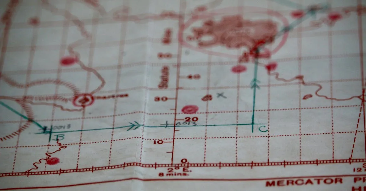
How to Read Sectional Charts: Complete Visual Guide for Drone Pilots
Sectional charts look like a wall of chaos until you know the system. Here's every symbol and marking that matters for your Part 107 exam and real flights.

Understanding NOTAMs: The Pre-Flight Check You Can't Skip
NOTAMs tell you what's happening in the sky right now. Here's how to read them, where to find them, and why skipping this step can cost you your certificate.
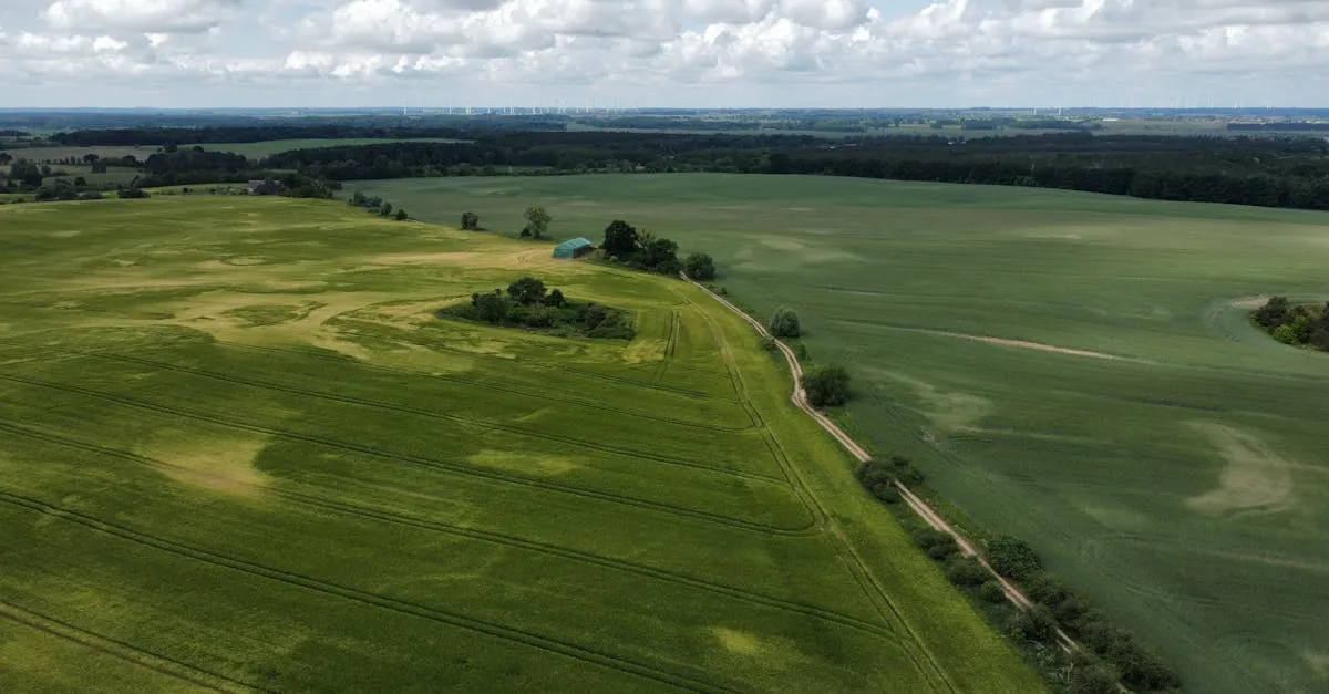
Where Can You Fly a Drone? Laws, Maps, and Apps (2026)
Figuring out where it's legal to fly is the most confusing part of being a drone pilot. Here's how to read airspace maps, check for TFRs, and stay out of trouble.
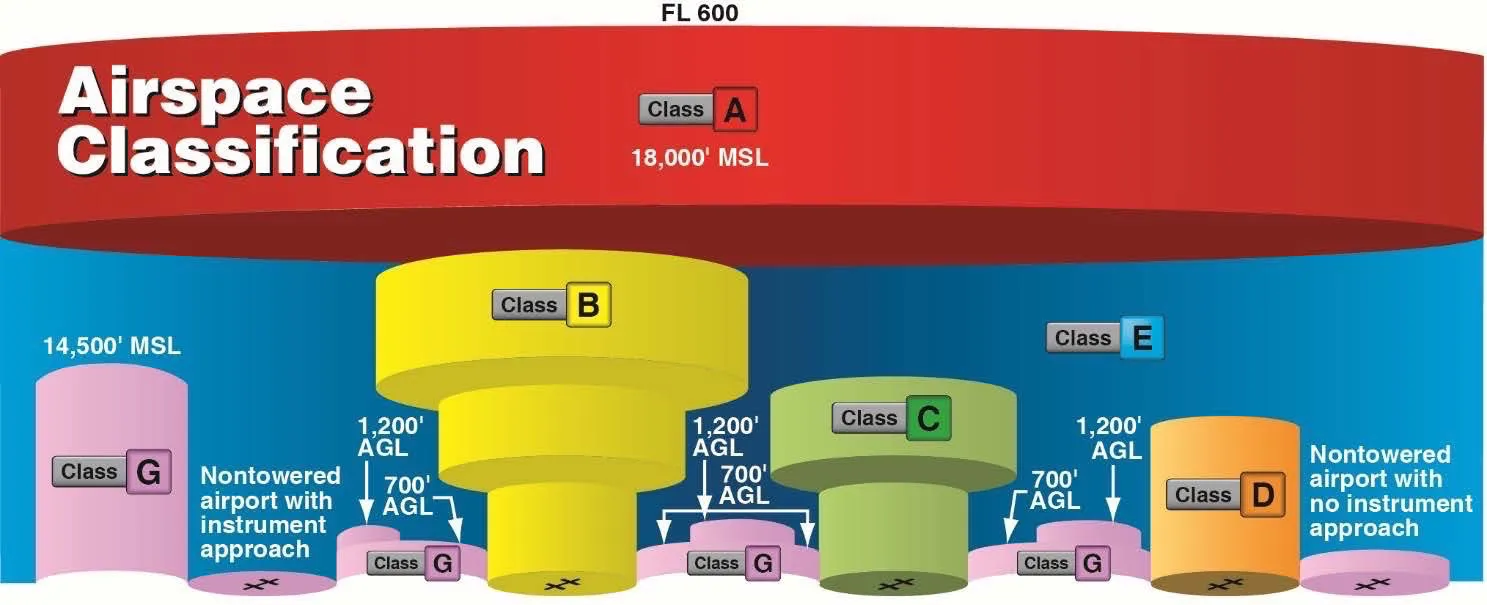
The Class E Airspace Trick That Stumps Everyone on the Part 107 Exam
Class E has three starting altitudes but only two are drawn on the chart. The invisible default rule is the #1 reason pilots lose points on airspace questions.