Drone Surveying vs Mapping: What's the Difference
Surveying is measurement-focused. Mapping is visual representation-focused. They overlap but serve different purposes — here's exactly where the line is drawn.
The Short Answer
Surveying = measurement-focused (distances, elevations, volumes, boundaries). Precision data for engineering and legal purposes.
Mapping = visual representation-focused (orthomosaics, 3D models, land cover, NDVI). Creating usable digital models of real-world spaces.
They use the same equipment but serve different end goals.
What Is Drone Surveying?
Precision measurement of the earth’s surface. Clients care about raw, accurate data — not pretty pictures.
Accuracy requirements are stringent: centimeter-level with RTK drones or Ground Control Points.
Outputs: Topographic data, volume calculations, elevation profiles, boundary lines.
In many states, a licensed land surveyor must sign off on boundary surveys. You cannot legally declare property boundaries without a surveying license.
What Is Drone Mapping?
Creating visual representations of terrain from overlapping aerial imagery and photogrammetry software. Less stringent accuracy requirements.
Outputs: Orthomosaic maps, 3D textured models, NDVI maps (agriculture), thermal maps.
Anyone with a drone and photogrammetry software can create maps. No special license required for mapping deliverables.
Where They Overlap
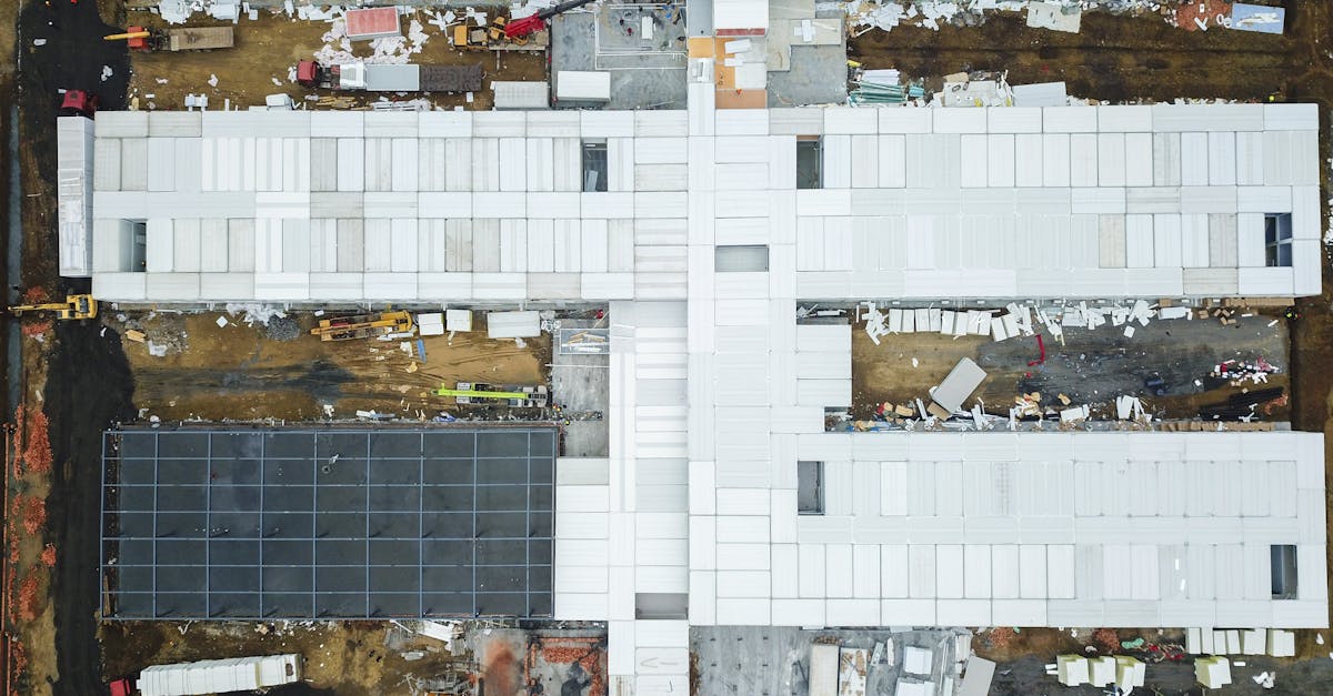
Both use the same equipment: drone + camera + photogrammetry software. Both require systematic flight planning with proper overlap (70-80% front and side). The construction industry uses both simultaneously — one flight can produce mapping deliverables for marketing AND surveying deliverables for engineering.
Modern RTK drones blur the line further by delivering survey-grade accuracy from what looks like a standard mapping workflow.
Which Do You Need?
| Question | Answer |
|---|---|
| Exact elevations and distances? | Surveying |
| Visual map or 3D model? | Mapping |
| Calculate dirt to move? | Surveying |
| Show investors the site? | Mapping |
| Monitor crop health? | Mapping (NDVI) |
Legal Considerations
Only licensed land surveyors can certify boundary surveys, subdivision plats, or topographic surveys for engineering design.
Drone operators without surveying licenses can perform mapping, volumetrics, and inspection — but not legal boundary determinations. You can show where a fence sits, but labeling it as a “legal property line” crosses into licensed territory.
Always check your state’s requirements before offering measurement-based services.
Learn both disciplines in our free courses: Drone Mapping for visual deliverables, Drone Surveying Business for precision measurement workflows.