Ground Control Points Explained: Why GCPs Matter
Without ground control points, your drone map is just a pretty picture. Here's why GCPs are essential for survey-grade accuracy.
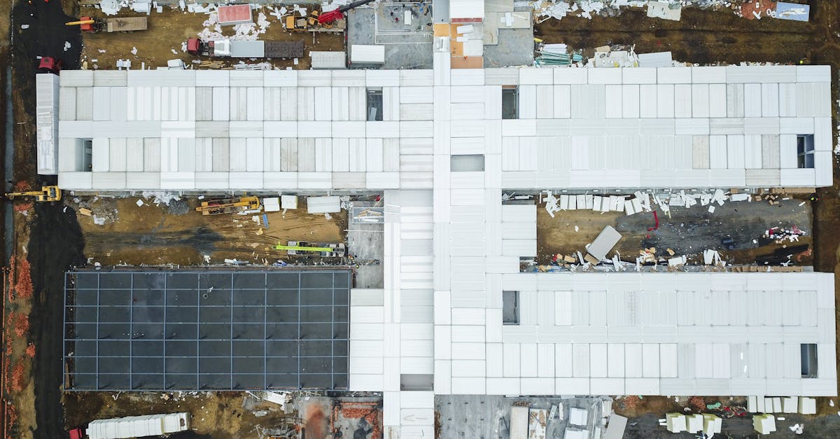
When you fly a drone to map a construction site, the drone collects hundreds of overlapping images. Software stitches them into a detailed 3D model or orthomosaic. But there’s a fundamental difference between a visually accurate map and a spatially accurate map.
A visually accurate map looks like the site. A spatially accurate map guarantees every pixel corresponds to its exact real-world location. Ground Control Points are the difference.
What Are Ground Control Points?
GCPs are physical markers placed on the ground before a drone flight — typically high-contrast checkerboard or crosshair targets made of vinyl, painted plywood, or aluminum. But a physical marker is only half the equation. The exact center must be surveyed with high-precision equipment, assigning known geographic coordinates (latitude, longitude, elevation) to that spot.
These known coordinates act as anchors that lock your drone map to the real world.
Why GCPs Matter
Standard consumer drones use onboard GPS to tag each photo’s location. Uncorrected GPS has a margin of error ranging from 1 to 5 meters horizontally, and even more vertically. A 2-meter error means a concrete foundation might appear 2 meters from where it actually sits in your model. Useless for engineers, architects, and surveyors.
GCPs shift reliance from drone GPS to professional land survey data. The margin of error drops from meters to centimeters.
How Many Do You Need?
The minimum is five GCPs. Three points define a 2D plane, four define a 3D volume, but photogrammetry software needs a fifth point to calculate residual error — essentially checking its own work.
Standard placement: one in each corner of the mapping area, plus one in the center. This prevents the map from warping at the edges.
Placement Strategy
- Distribute evenly across the entire flight boundary. Never cluster in one area — edges will warp with extrapolation error.
- Flat, stable ground — avoid steep slopes where the camera can’t see the target center straight-on.
- Avoid shadows — deep shade from trees or buildings reduces contrast and makes targets hard to identify.
- Bare ground, not tall grass — grass obscures the center point and introduces vertical measurement errors.
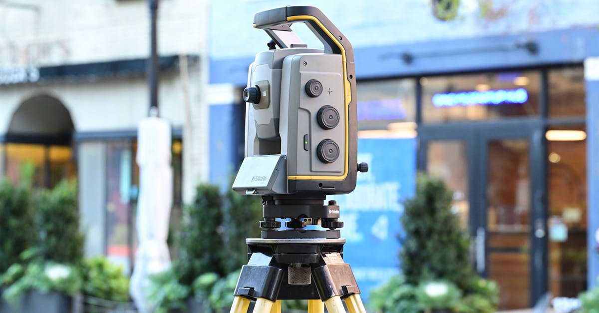
Measuring with RTK GPS
Use Real-Time Kinematic (RTK) GPS equipment to measure each GCP center. RTK uses a fixed base station to send real-time correction signals to a roving GPS pole, canceling atmospheric interference and satellite errors for centimeter-level precision.
Place the RTK pole tip directly in the target center. Ensure it’s perfectly plumb using the bubble level. Hold still for 5-10 seconds to achieve a fixed solution. Record coordinates and move to the next point.
Marking GCPs in Software
After the flight, upload images into photogrammetry software (Pix4D, Agisoft Metashape, DroneDeploy). Input the surveyed coordinates, then manually click the center of each target across multiple photos. The software triangulates the exact pixel location in 3D space.
Precision here dictates final accuracy. Being off by a few pixels when clicking the target center degrades your entire map.

Accuracy Comparison
| Method | Horizontal Accuracy | Vertical Accuracy | Best For |
|---|---|---|---|
| Drone GPS only (no GCPs) | 1-5 meters | 2-10 meters | Visual inspection, rough planning |
| RTK drone (no GCPs) | 2-5 cm | 4-8 cm | Flat terrain, fast turnaround |
| Standard drone + GCPs | 1-3 cm | 2-5 cm | General surveying, volumetrics |
| RTK drone + GCPs | Sub-centimeter | 1-3 cm | Engineering design, legal work |
Even with an RTK drone, adding GCPs acts as quality control — eliminating residual drift and proving the map is grounded in verified physical survey data.
GCPs are the bridge between aerial photography and professional land surveying. They take time to deploy but transform drone data into a reliable, measurable asset. Learn the complete workflow in our free Drone Mapping course.