Why Construction Needs Drones
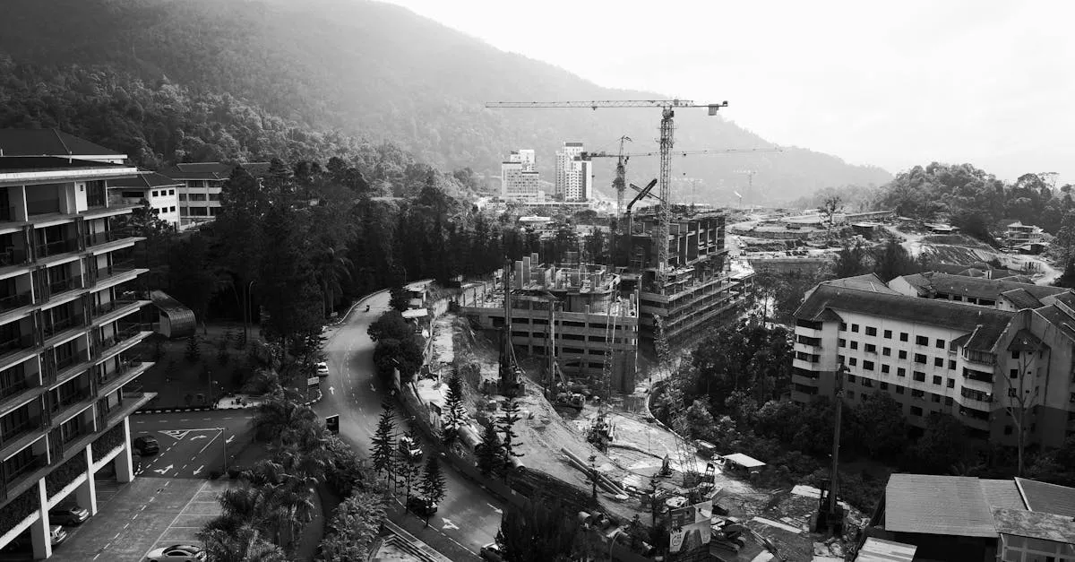 Construction projects are massive, complex, and always behind schedule. Project managers juggle subcontractors, budgets, safety compliance, and investor expectations. They need accurate, current information about what is happening on site. Traditional methods for getting that information are slow and expensive.
Drones changed the equation. What used to require a survey crew walking the site for three days now takes a single pilot two hours. Aerial progress photos that once meant hiring a helicopter for $2,000 an hour now cost a drone pilot $200 per visit.
The Numbers Behind the Opportunity
The construction industry loses money on poor project visibility. Construction projects routinely run over schedule and over budget, and industry postmortems repeatedly point to late detection of problems as a major driver of those overruns. When nobody spots a deviation until it is buried in concrete, the fix costs far more than the catch would have.
Drone data addresses these problems directly. Aerial monitoring consistently cuts the time crews spend on progress reporting and re-measure visits, and it surfaces deviations weeks earlier than manual site walks. Exact numbers vary by project and contractor, but the pattern is consistent: more frequent, cheaper measurement means problems get caught while they are still cheap to fix.
Where Drones Fit in Construction
Every phase of a construction project benefits from aerial data:
Planning and design: Topographic maps from drone surveys help engineers design road layouts, drainage systems, and building placements with current terrain data instead of outdated satellite imagery.
Earthwork: Excavation contractors need to know how much material they have moved and how much remains. Drone elevation models calculate cut and fill volumes accurately, which directly affects progress payments.
Structural progress: Weekly or monthly aerial flights create a visual timeline that project managers use to track construction against schedule. When a building falls behind, the aerial record shows exactly where and when the delay started.
Quality control: Comparing current conditions against design plans catches deviations early. A wall built two feet off its intended position is cheap to fix when caught in the first week. It is expensive to fix after the entire floor is poured around it.
Handover and documentation: When the project finishes, the complete aerial record serves as built documentation for the building owner, insurance company, and future maintenance teams.
Why General Contractors Hire Drone Pilots
Most construction companies do not want to employ a full-time drone pilot. The equipment is expensive, the regulatory requirements are specific, and the data processing requires specialized software skills that do not exist on a typical construction team.
They hire drone service providers instead. This is your opening. A general contractor managing a $50 million project will often pay a monthly fee — commonly quoted in the $2,000-4,000 range, though it depends heavily on your market and flight frequency — for aerial progress data that helps them avoid costly change orders.
What You Need to Get Started
You do not need enterprise equipment to start in construction drone work. A current-generation DJI Air 3S or Mini 5 Pro with mapping software handles basic progress photography and orthomosaic mapping. As your client base grows, invest in RTK equipment for higher accuracy work.
What you do need is an understanding of how construction projects operate. This course teaches you the specific services construction clients pay for, how to deliver them, and how to price them profitably.