Drone Mining Surveys: Stockpiles and Excavation Progress
Mining companies pay premium rates for drone surveys. Here is how to measure stockpile volumes, map excavation progress, and price mining jobs.
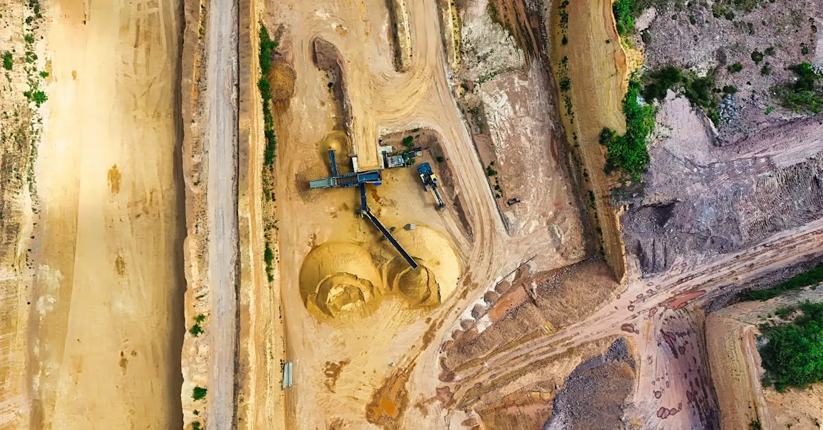
Mining companies pay premium rates for drone surveys because accurate volumes impact inventory accounting. Drones replace dangerous manual surveying, completing in 20 minutes what takes hours on foot. RTK equipment is essential for centimeter-level accuracy mining clients require.
If you are looking for a drone service niche that pays well and has consistent demand, mining surveys deserve a hard look. Mining operations run on precise numbers. They need to know how much material has been extracted from the ground, how much remains sitting in stockpiles, and whether excavation is proceeding according to plan. Get these numbers wrong, and suddenly inventory accounting is off, financial reporting gets questioned by auditors, and operational planning falls apart.
The problem is that traditional surveying methods in mines are slow and risky. Surveyors walk across stockpiles with GPS rovers, taking points one at a time. A single large stockpile might take a few hours to walk properly. Multiply that across a dozen piles on a site, and you have burned most of a day. There is also the safety factor. Stockpiles of loose material like coal, gravel, sand, ore, and aggregate are inherently unstable. Walking on them puts people at real risk of slips, ankle injuries, or worse.
A drone solves both problems. The same area that takes a surveyor hours to cover on foot takes about 20 minutes in the air. The resulting elevation data is accurate to within a few centimeters when you use the right equipment. That combination of speed and accuracy is exactly why mining companies are actively hiring drone pilots.
How Stockpile Measurement Actually Works
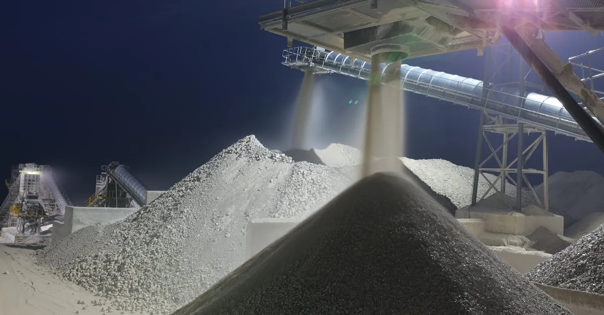
Stockpiles are simply mounds of material waiting to be processed, sold, or transported. But knowing the volume of each pile matters more than you might think. Volume translates directly to tonnage when you apply the material’s bulk density. That tonnage number feeds into inventory counts, balance sheets, and operational decisions about when to move material or order more.
The workflow for measuring stockpiles with a drone follows a straightforward process. First, you fly the stockyard or area containing the piles. Standard grid patterns with sufficient overlap work well, typically 75% front overlap and 65% side overlap for mining work. The terrain and the size of the piles will influence your altitude, but 150 to 250 feet above ground level covers most situations while maintaining the ground sample distance needed for accurate volume calculations.
After the flight, you process the images through photogrammetry software to generate a digital elevation model, often called a DEM. This model represents the surface of the ground and the stockpiles in three dimensions. From there, calculating volumes is a matter of comparing the stockpile surface against a reference plane. Most processing software lets you define the base of each pile, and the software computes the volume between that base and the surface you captured.
Mining sites generate thousands of images per flight. A full site survey with multiple stockpiles and excavation areas can easily produce 2,000 to 5,000 images depending on the size of the operation and the resolution you are targeting. Your computer needs to handle that workload, which means a capable processor, plenty of RAM, and ideally a dedicated graphics card.
Equipment That Gets the Job Done
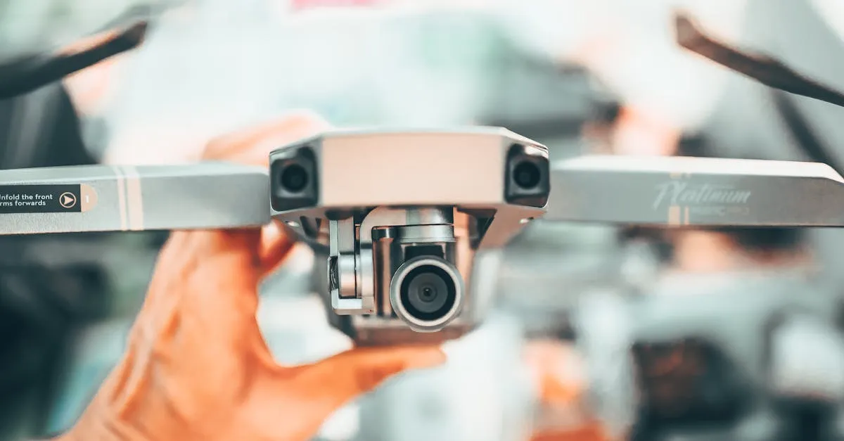
Mining clients expect survey-grade accuracy, and that means you need an RTK-enabled drone. Standard GPS is not reliable enough when volumes worth tens or hundreds of thousands of dollars are on the line. RTK, or Real-Time Kinematic positioning, corrects for atmospheric and satellite errors in real time, giving you centimeter-level accuracy without ground control points in most conditions.
The DJI Matrice 350 RTK paired with a solid RGB camera covers most mining survey needs. It is a workhorse platform that handles wind, dust, and the kind of rugged conditions you find at mining sites. The RTK capability is built in, and with a good base station or NTRIP correction service, you can achieve the accuracy mining companies require.
On the software side, Pix4Dmapper and Agisoft Metashape are the two main options for handling large mining datasets. Both can process thousands of images into accurate point clouds, meshes, and elevation models. Pix4Dmapper has strong tools specifically for volume calculations and is widely recognized in the mining industry. Agisoft Metashape offers similar capabilities with a different workflow and pricing structure. If you are serious about mining work, learn at least one of these platforms thoroughly.
Pricing Mining Survey Jobs
Mining surveys command higher rates than typical real estate or promotional drone work because the data has direct financial value to the client. Here is a realistic breakdown of current market rates.
For a single stockpile measurement, expect to charge between $200 and $500 depending on the size of the pile and how quickly the client needs the data. This is a straightforward job if you are already on-site, and it can take less than an hour including flight time and processing.
A full site survey that covers all stockpiles, excavation areas, and relevant infrastructure typically runs between $1,500 and $5,000. The wide range reflects differences in site size, number of features to capture, and the level of detail required in the final deliverables. A small sand and gravel operation might land at the lower end, while a large open-pit mine with dozens of stockpiles and active excavation zones will push toward the higher end.
Monthly monitoring contracts represent the sweet spot for building a sustainable business. Mining operations need regular updates to track how volumes change over time. A weekly monitoring arrangement typically costs between $3,000 and $8,000 per month. That means four flights per month, processed data delivered on a consistent schedule, and ongoing communication with the client about results. These contracts provide predictable income and reduce the time you spend chasing new clients.
Safety Requirements You Cannot Skip
Mining sites are hazardous environments, and they have strict safety protocols for a reason. Showing up unprepared will get you kicked off the site quickly, and it will damage your reputation in an industry where word travels fast.
At minimum, you need a hard hat, a high-visibility vest, and steel-toe boots. Some sites may require additional personal protective equipment depending on the specific hazards present. Radio communication is essential because you need to stay in contact with site personnel while you are flying. Mines have heavy equipment moving around, blasting schedules, and designated flight zones that you must respect.
Before your first flight at any mine, go through their site induction process. This usually involves watching a safety video, signing in, and getting a briefing on current site conditions and hazards. Ask questions about active mining areas, equipment movement patterns, and any temporary restrictions. The site manager will appreciate that you take safety seriously, and that builds trust for future work.
Getting Your First Mining Clients
Mining companies are not typically scrolling through Instagram looking for drone pilots. You need to reach them through direct outreach and professional channels.
Start by identifying mines and aggregate operations in your region. Sand and gravel pits, limestone quarries, coal mines, and metal ore operations all need stockpile surveys. Look up their websites, find the contact information for the survey department, mine manager, or operations lead, and make a direct phone call or send a professional email.
When you make contact, keep your pitch focused on their problems. Tell them you can measure stockpile volumes faster and safer than traditional ground surveying, with accuracy to a few centimeters. Offer to do a demonstration flight on a single stockpile at a reduced rate or even at no charge if the opportunity seems promising. Once they see the quality of the data and how quickly you deliver it, the conversation about ongoing work becomes much easier.
Having examples of your work ready to show is important. If you have not done mining surveys before, create sample deliverables by mapping stockpiles at a local quarry or construction site. Being able to hand someone a PDF report with volume calculations, cross-section views, and an orthomosaic overview demonstrates that you understand what they need.
Mining survey work is not the easiest niche to break into, but the payoff is substantial. The clients pay well, the work is recurring, and once you establish yourself with one operation, referrals to other sites follow. If you have your Part 107 certificate and want to move into this line of work, the technical side is very learnable.
Frequently Asked Questions
Why do mines need drone surveys? Precise volume measurements for inventory and balance sheets. Traditional surveying is slow and dangerous on unstable stockpiles.
Required equipment? RTK-enabled drone like DJI Matrice 350 RTK plus photogrammetry software like Pix4Dmapper or Agisoft Metashape.
How much to charge? Single stockpiles $200-500, full site surveys $1,500-5,000, monthly monitoring $3,000-8,000.
Safety requirements? Hard hat, high-visibility vest, steel-toe boots, radio communication, and site induction before flying.
How do volume calculations work? Fly the area, process into elevation model, compare stockpile surface against reference base plane, compute volume using bulk density.
How to get first clients? Reach out to survey departments and mine managers. Offer demo flight on single stockpile at reduced rate.
Ready to build the skills you need for mining survey contracts? Check out the free Drone Surveying Business course and the Drone Mapping course at drone.courses to learn the exact workflows, client acquisition strategies, and processing techniques that working professionals use in the field.